Câmara de Lobos
Curral das Freiras
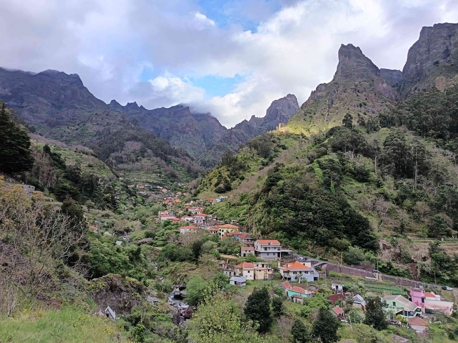
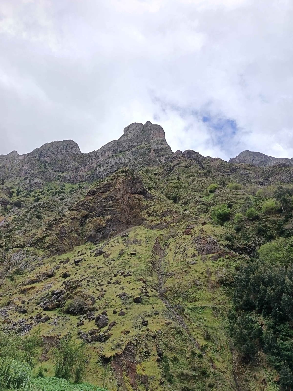
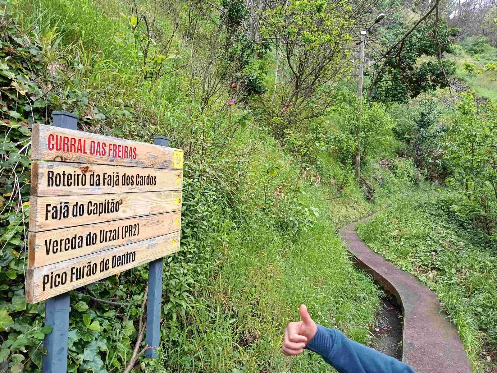
Curral das Freiras sits in a deep valley in the Câmara de Lobos municipality, hidden enough between the mountains that it is not visible from the sea. The name comes from the nuns of the Santa Clara Convent, who took refuge here in 1566 during a pirate raid on Funchal. The parish’s own church, Nossa Senhora do Livramento, dates to the 19th century.
The Eira do Serrado viewpoint, at 1,095 metres, is the usual first look down into the valley before the road drops in.
The practical facts
- Altitude
- The Eira do Serrado viewpoint above the valley sits at 1,095 metres. Source: Visit Madeira - Curral das Freiras · verified 2026-09-15
- History
- The parish is named for nuns of the Santa Clara Convent who sheltered here after a 1566 pirate raid on Funchal. Source: Visit Madeira - Curral das Freiras · verified 2026-09-15
- Cost
- No admission fee is listed for the village or the viewpoint; both are public road and parish. Source: Visit Madeira - Curral das Freiras · verified 2026-09-15
- Municipality
- Curral das Freiras is the largest parish of the Câmara de Lobos municipality, area 25.07 km². Source: Visit Madeira - Curral das Freiras · verified 2026-09-15
Trails around Curral das Freiras - Madeira Hiking Compare car hire for this outing - DiscoverCars
Sources and last verified
- Visit Madeira - Curral das Freiras · verified 2026-09-15
- Photographs: João's own, dated by camera file and captioned with the place and month shown. Method and corrections: editorial policy.